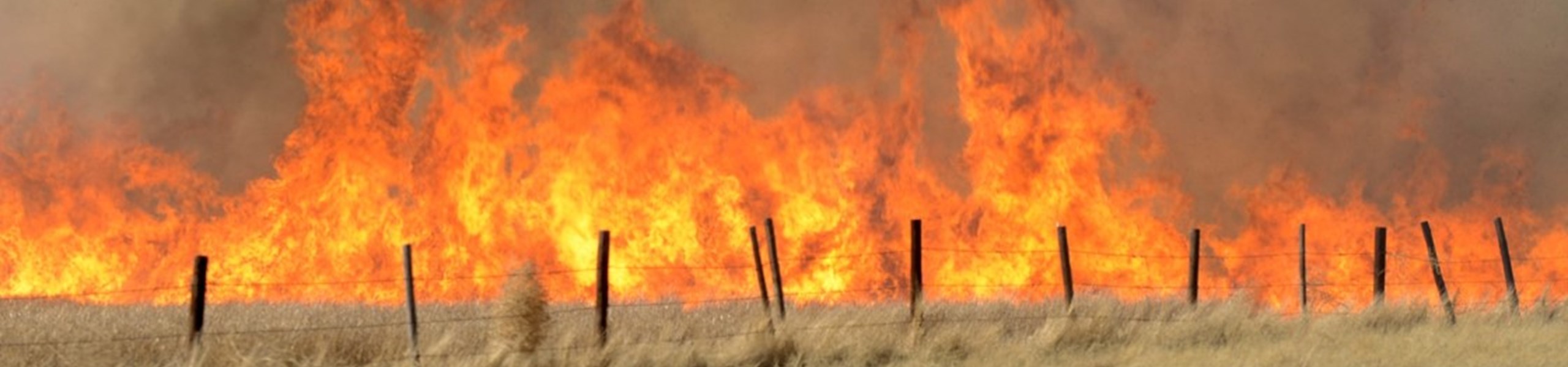
Wildfire Risks Near You
Use the interactive map to learn more about the threat wildfires may pose in Nebraska.
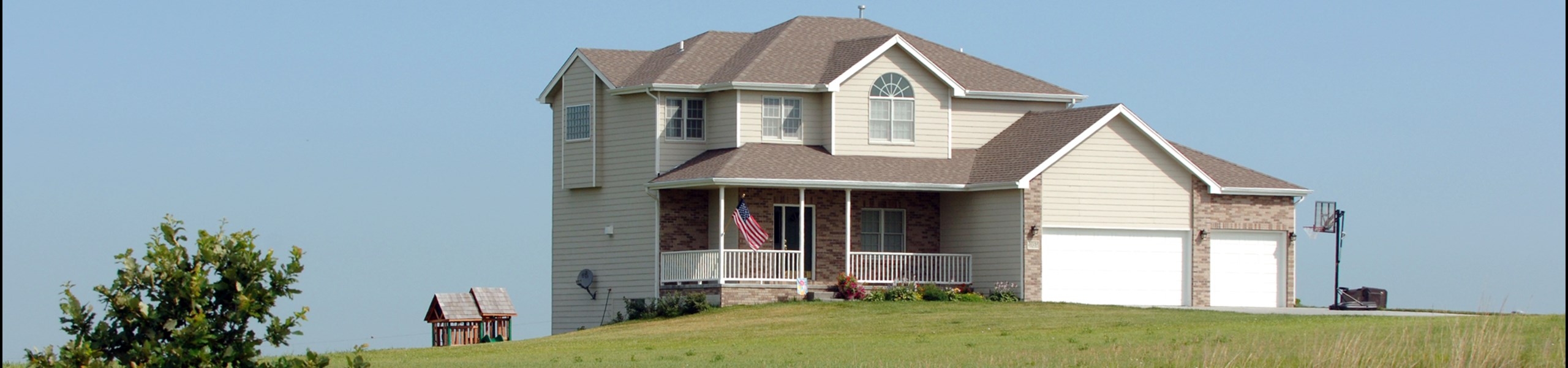
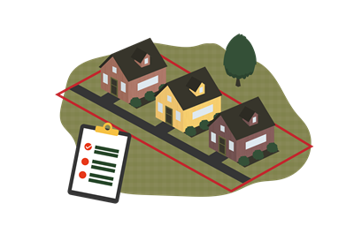
Property Owner Resources
There are several steps you can take to reduce the risks of wildfire.

Contact Us
The Nebraska Forest Service is here to guide with preparedness, mitigation, and planning efforts.
Nebraska Fire Weather Forecast Map
These maps are developed by the National Weather Service (NWS) and used in cooperation with the Nebraska Forest Service. Select a map category and a day.
Curious About Your Risk?
Enter your address or zoom into a location on the map to get an assessment of wildfire risk for that location. For more detailed information on the assessment or wildfire risk at a specific location, go to the Risk Explorer.
Property Owner Resources
headerAbove: True
Preparedness
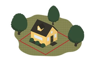
Creating Defensible Space
Defensible space is the buffer created between buildings and grasses, trees, and shrubs. This space is critical to slow or stop the spread of widlfire—helping protect your family and your home.
Mitigation
Cost-Share Opportunities
The Nebraska Forest Service undertakes a number of projects across the state aimed at enhancing protections around property and reducing forest fuels.
Plan
Community Wildfire Protection Plans
A CWPP gathers your community's resources to enhance wildfire mitigation and preparedness. The written document identifies the steps a community will take to reduce its risk of damage from wildfires.
For best results using the Wildfire Risk Assessment Portal, we suggest using one of the following web browsers: Microsoft Edge, Google Chrome, or Safari.
![]()


![]()

Contact Us
Got a question? Use the form below to email us your question or comment.
Required fields are marked with an asterisk (*).